August 16, 2015 by buffalostevep
Going back to April 2012, I hiked along the Kings River Falls on the Kings River about 30 miles east of me.
 Life and Wildlife along the Little Buffalo River
We went to King’s River Falls Nature area near Boston, AR. last Friday March 30th early in the morning. First of all, there were some pretty large fires along AR Highway 16 (part of the 11 fires that the Forest Service set intentionally (Prescribed Burns) to rid the forest floor of fuel and prevent a larger more destructive fire and enhance the understory for more beneficial species of plants for wildlife.
After a 20 minute ride north of AR 16, we reached Mitchell Creek near the junction of the Kings River. The Kings headwaters are near Boston AR. It was noticeable that the area was about 10 days behind in the “green up” of spring than Parthenon in Newton County to the east. Those are some very high and cold mountain tops in Madison County. The Nature Area has a parking area for 4-6 cars and a well marked trail…
View original post 84 more words
Posted in Uncategorized | Leave a Comment »
August 13, 2015 by buffalostevep
Sorry for my absence – The Job.
Posted in Uncategorized | Leave a Comment »
June 9, 2015 by buffalostevep
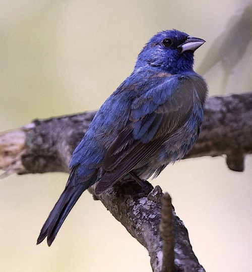
It was a warm day here in the Murray Valley. I took my camera with me to the garden today. A Blue Grosbeak flew up into a tree from the orchard side of the garden. Later I heard, then saw a beautiful Summer Tanager on a downed limb; got photos of both:

35.941523
-93.273452
Posted in Wild Birds | Tagged Arkansas, Blue Grosbeak, Boston Mountains, murray valley, near garden, summer tanager | Leave a Comment »
June 5, 2015 by buffalostevep
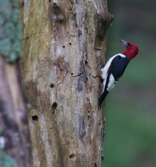
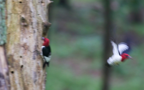
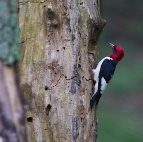
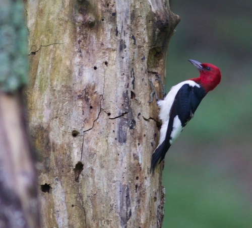
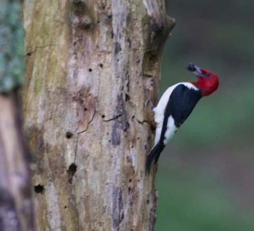
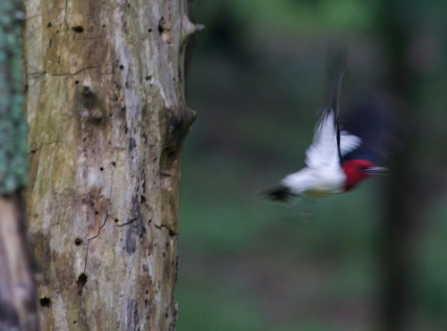
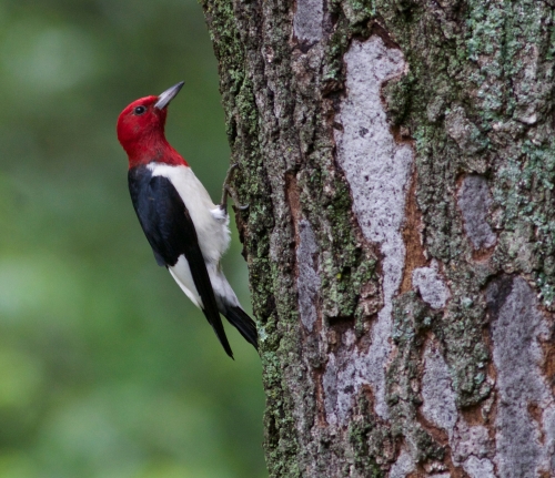
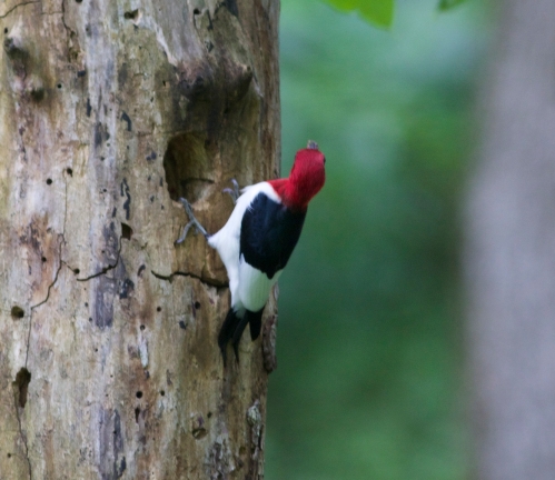
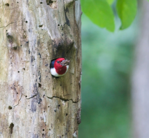
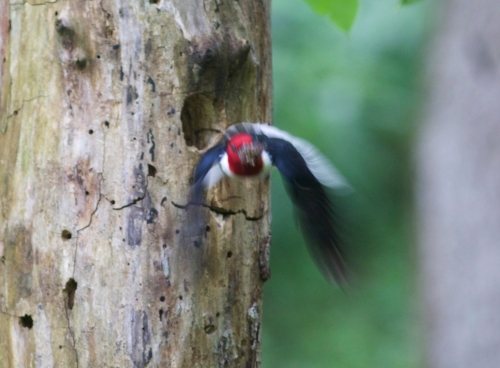
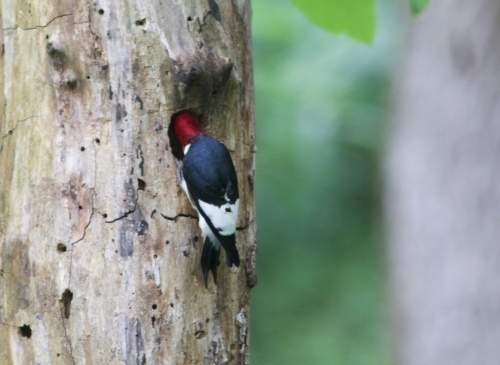
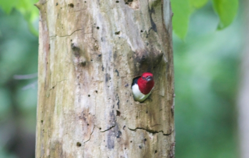
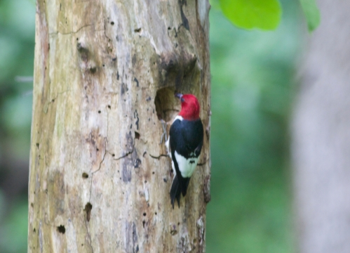
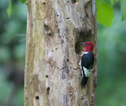
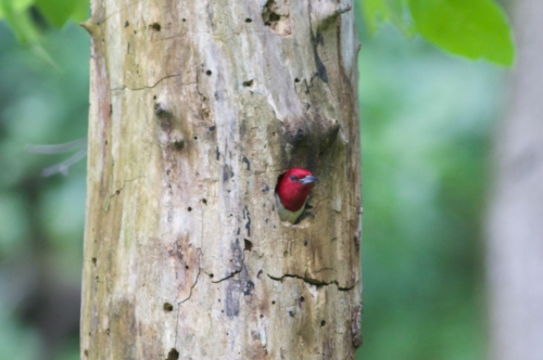
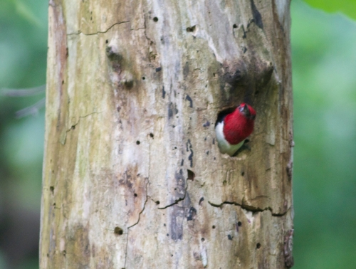
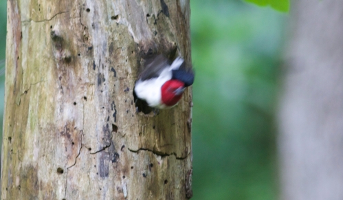
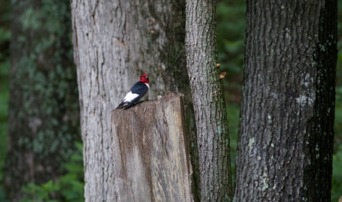
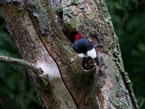
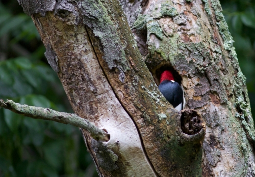
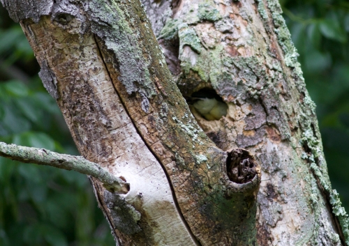
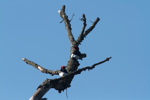
Posted in Wild Birds, wildbirds | Tagged araknsas, area, Boston Mountains, creek bottomland, forage, nesting, red headed, Redheaded woodpecker, woodpecker | 1 Comment »
May 25, 2015 by buffalostevep
I caught this photo from the NE edge of Mount Judea at dawn. Mt. Judea is the NE extent of the continuous Boston Mountains looking NE towards Bull Shoals Lake (about 60 miles NE). The hills in the distance are along the middle Buffalo National River near the area where Big Creek joins the Buffalo. Unfortunately, there is a huge Commercial Hog Operation about 5 miles above the Buffalo River (outside the National Park Service lands), but the hog waste has permeated the Karst topography and entered Big Creek and then the Buffalo, River causing unacceptable levels of nitrogen and other effluents to pollute our beautiful river. Just does not seem right !! CLICK TO ENLARGE.

Posted in Mountain Scenery | Tagged 'orange, Big Creek, Buffalo River, Buffalo River National, Commercial Operation, dawn, Hog farm, Mount Jedea, pastel sunrtise | 1 Comment »
Older Posts »
Life and Wildlife along the Little Buffalo River
